CIAN | Planning & Navigation
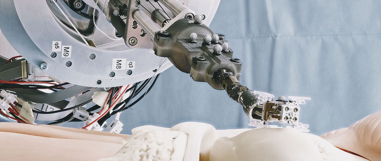
The Planning and Navigation team develops novel navigation technology in order to safely plan and control the surgical interventions of the MIRACLE robot-assisted laser system.
First of all, a successful intervention with the MIRACLE robot requires the decent planning of osteotomies. The planning system of the Planning and Navigation Group is based on an in-house developed software called SpectoVR, which is a renderer for three-dimensional medical data such as Computed Tomography (CT) data sets and enables visualizing images in three dimensions using virtual reality. Due to the three-dimensional depth perception, the planning of osteotomies with such a system is much more precise and less time consuming compared to conventional intervention planning. Besides the planning of a surgical intervention, the software will also be used to visualize the progress of the intervention with the MIRACLE robot using augmented reality techniques.
Secondly, since accurate real-time navigation is essential for the realization of precise cuts using the MIRACLE robot, the Planning and Navigation Group also focuses on the determination of the position of the endoscope inside the body of the patient. Due to the flexibility of the endoscope and the missing line of sight, state-of-the-art optical trackers are not suitable and the development of innovative navigation concepts to monitor the position of the laser tip and the entire shape of the endoscope during surgery, is therefore needed.
Planning & Navigation is part of the Center for medical Image Analysis and Navigation (CIAN), as all four projects within MIRACLE II are much larger groups with a great variety of research foci, as shown in the diagram above.
Prof. Dr. Philippe Cattin
Head of Planning & Navigation
Hegenheimermattweg 167B/C
4123 Allschwil
Switzerland
Planning and Navigation forms part of three different groups of DBE: the Flagship Project MIRACLE, generously funded by Werner Siemens Stiftung, the Focal Area Laser and Robotics and the Center for Medical Image Analysis and Navigation (CIAN). The Planning and Navigation Group was founded in spring 2016 by Prof. Dr. Philippe Cattin and consists of one Postdoctoral associate and seven PhD-students. To meet the requirements for its diverse field of research, the Planning and Navigation Group is an interdisciplinary team of physicists, biomedical engineers, computer scientists, and mathematicians.
To learn more about our team and current research activities, select one of the categories listed below.